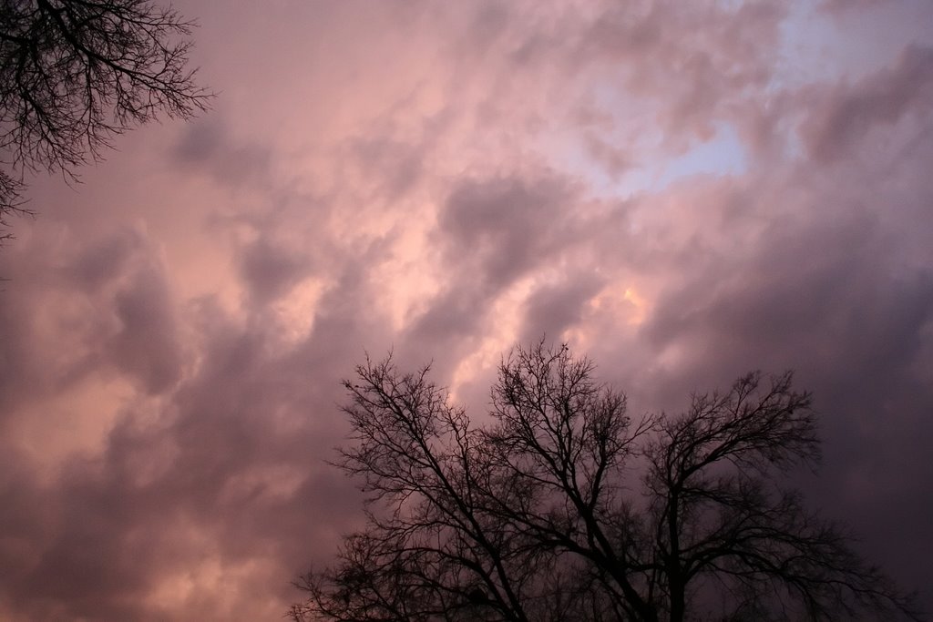
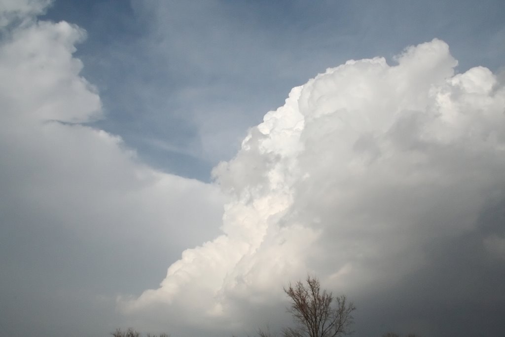
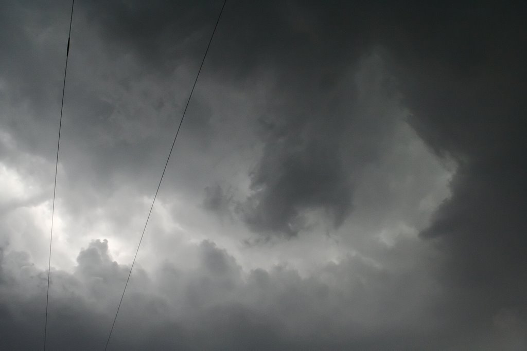
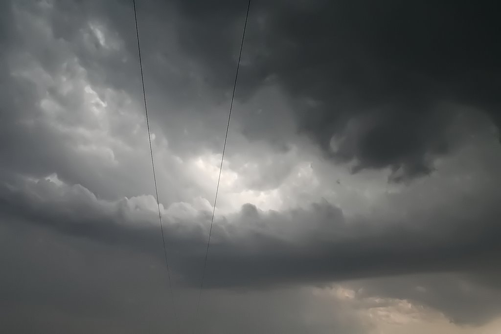
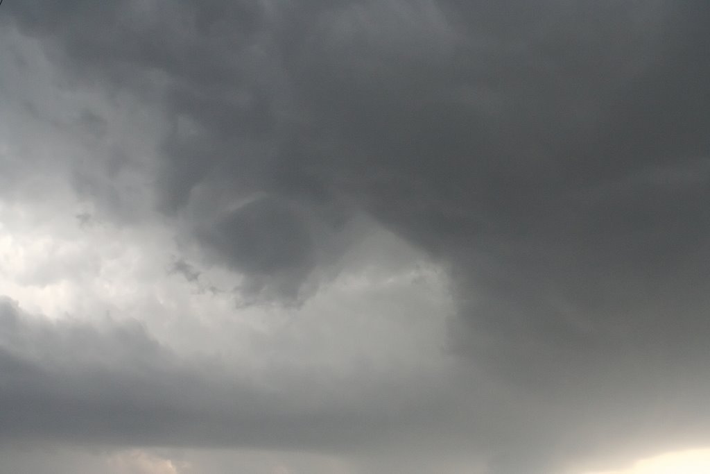
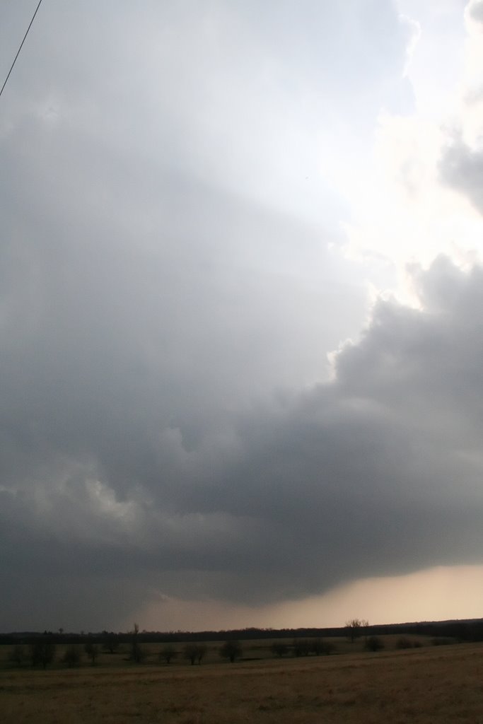
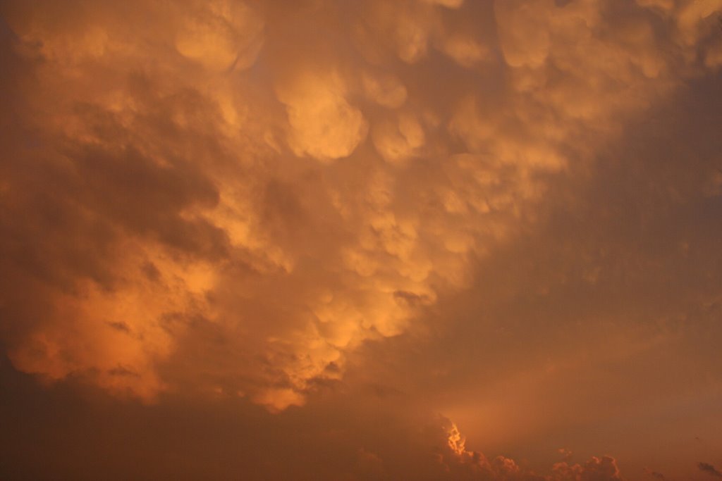
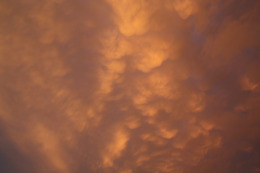
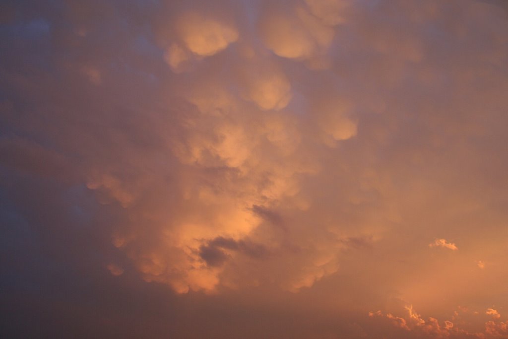
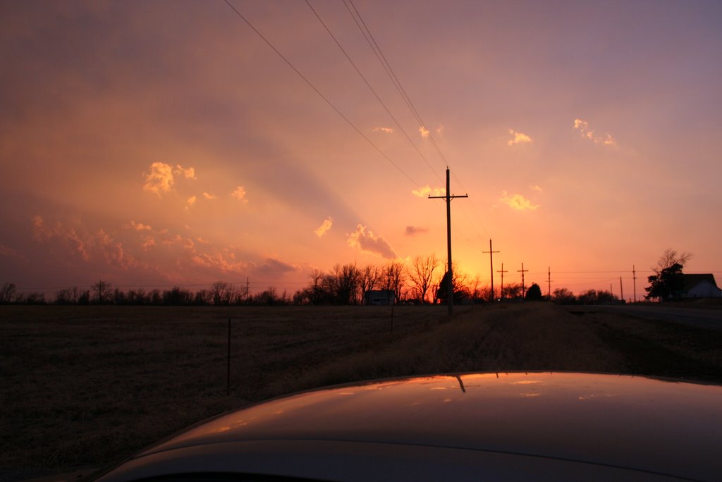
Friday, March 24, 2006

Ka Boom!

Well, there goes the neighborhood. Again. GFS is painting an insane set up again for next Thursday. Eerily reminiscent to the March 12th setup. If it verifies another outbreak could be in order. Let's hope it sets up a little farther West this time. It will be very interesting to watch this system pan out.

On another note, how about the Longhorn's victory last night. What an awesome game. I was so pumped up about it I could not go to sleep 'til after 2 am. When Pittsnogle hit that three with 5 seconds left to tie the game I thought we were done. No way we keep up with there insane 3 point shooting into overtime. Then a miracle happened. AJ ran the ball up the court, found Paulino on the left arch. With .8 seconds left on the clock the ball left KP's hand. The red light flashed on around the backboard and "SWISH". Texas moves on to the Elite 8. Absolutely incredible game to watch. Instant classic for sure. I don't know how many more games they will win (maybe none) but that game will forever be etched in my memory. Much like the '91 Sweet 16 when Texas lost to Michigan on a buzzer beater. That damn game still bugs me. Hopefully we will continue on in the tournament. Especially since the Duke cry babies are now out of it. Later.

Thursday, March 23, 2006

LOL, Snow This!!!

Who would'a thought it. Nebraska gets the snow measured in feet on Monday and then the Wednesday night system brings several inches of snow to Oklahoma. Damn the luck and being caught in the middle. I don't know why I love snow so much. Maybe it is because I grew up in Texas and rarely saw the white stuff. I now live in Kansas and expect to see it and it never happens. Oh well. Maybe next year. Bring on the tornadoes. I believe we are in a slow period for the next several weeks. The weather boards will once again be bantered with the pessimistic ideas of a crappy season and no storms. Then alas, around the 10th of May the short waves will eject, the moisture will abound, the dry lines will erupt, the triple point will be chased and the 3 weeks that follow will be exciting and terrifying all at the same time. I predict this May to be historic in nature. No, I don't say that every year. In fact, this is the first prediction I have ever made. I don't know why I am calling for it, but I just am. We will see though. I am also predicting a mini season at the end of June into the first part of July. There, it is all down for the world to reticule and discuss. Call me on it or don't. I don't care. Congratulations to those that got the snow and pity me who didn't. Sorry there is nothing real interesting lately. Maybe that will change soon. Later.

Thursday, March 16, 2006

Snow???

Oh my, what a pattern we are in. Could it really be a snow STORM coming into Eastern Kansas this weekend into next Tuesday? Honestly, I don't know. I do know that it is at least possible to see at least some snow by midweek next week. This is freaking crazy. First, the warmest January EVER, then the driest February EVER, then the craziest tornado outbreak in MO history, and now the possibility of more than a foot of snow. Somebody pinch me. This is too cool. Texas and Oklahoma look like they are gonna get plenty of rain out of this. That is some great news. We need the drought to go away down there in a bad way. This will be an extremely interesting next 5 to 6 days ahead of us. I will talk more about it as I gain more confidence in the forecast.

Monday, March 13, 2006

Historic Day

Yesterday was a historic day. The outbreak that occurred was absolutely fascinating to watch. I would like to extend my condolences to the families of the people that were killed and to the people that lost property. Missouri just kept getting wave after wave of pretty discreet thunderstorms that were all rotating and dropping tornadoes. Most of the initiation was occurring in Eastern Kansas and rolling into Missouri where the conditions were outstanding for tornado production. I stayed in Eastern Kansas and witnessed the initiation of a bunch of storms. Everyone of them had at least light rotation and wall clouds of some sort. I did not chase any of them but rather just let them roll over me. I had a sick family and had to stay close to home to help out. As of this post, the SPC has a preliminary count of 113 tornadoes touching down and at least 6 deaths. The pics below are all from Franklin County and all are cells that were just initiating. Click to enlarge.


Friday, March 10, 2006

Let Down

Does anyone else go through a withdrawal after an active cycle? I find myself bored to death with no real shot of severe weather for my neck of the woods for some time. What to do. I know, I will pick something to complain about. Nah, too easy. I think I will just dream about my wish list of goodies. I want to get a Cannon 17-40L lens for my camera and the Sony DCR-DVD505K camcorder. I have to compromise with my wife on the camcorder. The ease of recording on a DVD and then being able to plop the disk right into the player really appeals to her. I am not sure of the editing format of the Sony but if it is at all manageable it is what I am going for. Plus, the 3 mega pixel isn't to shabby for that price range. If I shop hard enough I could probably find the 17-40 for around $650 and the Sony for around $850. Gee, $1500 and I will be set. LOL. That is why they call it a "wish list". I can hear my wife now, "Let's see honey, a new lens for your damn camera or food for the kids? I think you can live without your toys for a while." Great, can't wait for that conversation. I will prevail, though. Enough of my whining and the lens is mine!! Well, that is my plan anyway.

Take care.

Thursday, March 09, 2006

I Pee Freely

Well, it was good to get out in the country where I could chase storms and pee on the side of the road without the fear of prosecution. It was a weird set up yesterday. A high cirrus cloud blanket moved in mid-afternoon and snuffed out most of the insulation that was occurring in Eastern Kansas. Bummer! I decided to chase the dry line setup vs. the low that was spinning up through extreme NE Kansas and NW Missouri. I figured tor chances were low either way so I might as well stay close to the area I knew best and still be home in time for dinner. Well, maybe a little late. I left Iola at a quarter til 5 pm and headed north to Garnett, KS. The dry line was pushing east.


As you can see, the cirrus blanket was high and mighty.

Headed NE on the advice of my nowcaster for the day, Ann Money. Gee, thanks Ann, LOL. Got to Osawatomie and decided I needed to be further east for the cell that was developing over Allen and Bourbon Counties. Got to La Cygne and headed north on 69 to exit 399th St. Got in position (which was NW of the storm) and took these pics of the mammatus and a decent sunset. Because of the angle of the sun, the clouds turned a really nice shade of orange. The only processing done was a little USM to 3 of the pics. (Click To Enlarge)


This storm dropped marble sized hail a died out as the sun went down and as it crossed the MO border. The most adrenaline filled moment was not the lightning, thunder, or beautiful structure, but the herd of deer I almost plowed into at 70mph on the way home. Damn, we a longer rifle season here in Kansas. Thanks to my weather weenie mom Ann for the on the fly info. Ended up being a good practice session for the new camera as well. Later.

Tuesday, March 07, 2006

Clouds, Clouds, Go Away!

Let me make this real simple for you, if the clouds don't leave........stay home today. Well, maybe that is a little too simple - but entirely relevant. Surface obs show TD's heading north into the mid 50's already and the winds are south to southeast. This is definitely a hit or complete miss type of day. These are the type of days that if one chooses to chase and it pans out then you are a genius, but if the cloud cover holds on too long and the cape doesn't develop then it was just a sight seeing event for you. I am in the camp of if there is a 2% or higher chance of tors, then chase it by all means. Unfortunately, my means are slim today. I am gonna choose tomorrow over today to chase. That should make all the people chasing today very happy. Bank on a isolated untouched supe that is all by itself dropping tubes like they are candy. I will be nowcasting on Stormchaser's and likely for Dick and Darin by phone if they go out today. Good luck to all those chasing today and be safe and please make sure you get good shots of the storms for me.

Monday, March 06, 2006

Waz Up?

Hello again everyone. It is Monday and it is time for an active week on the storm front. As Dick mentioned in my comments section, the SPC doesn't like Tuesday. Oh well, I say screw em'. I think Tuesday is coming together nicely. The only things that are up in the air are the same things that are always up in the air this time of year. Surface moisture and the dreaded CAP. Surface dp's are forecast somewhere between 55 and 60. Those are doable for March and really as good as we saw all of last year. LOL. LCL's are moderately low and if some moisture can pool at the appropriate time and the cap will let go, this could be an awesome isolated super-cellular event. SRH values are good, cape is expected to be good. LI's are good and lapse rates should be there as well. If I were going out tomorrow, I would park my but on the KS/OK border south of Wichita.

Wednesday is looking decent, but I am not sure about the timing of the event. There is also another shot at the end of the week. But I can only concentrate on one event at a time. (Small brain)

I hope Tuesday pans out. I personally like this type of setup. Probably will be few chasers out, and if a storm can fire, it will most likely be isolated and very photogenic. That is my 2 pennies. We will see if I am getting any better at this as tomorrow unfolds. LATER!


EDIT: The SPC has issued a Slight Risk and a 15% hatched for the target area I was talking about above. So, I better take back the "screw em" remark..........nah, screw em' anyway.

Saturday, March 04, 2006

Holy Crap!!!!!!!!!!!!!

It is raining here in Eastern Kansas. Praise the Lord and pass the ammunition. It is 38 degrees and raining softly. Doppler estimates give me about a .5 inch at my house over night. Good stuff for sure.

WOW!! Now I know I mentioned earlier about me not looking too far into the future and making forecasts but holy cow have you seen the GFS lately? IF this verifies, next Wed into Thur will be a great time in the Southern Plains. SE Kansas is looking ripe for some svr. weather in the not to distant future. YEAH!! I will monitor it carefully in the coming days.

Today, the SPC is showing a pretty broad 2% tornado chance from the Texas Panhandle all the way up to central Nebraska. I really haven't studied todays outlooks because I got sidetracked by next weeks chances. For that reason, I will not elaborate too much on today's activities. In fact, I won't elaborate at all.

Well, I hope the rain continues and the GFS continues as well. Later.

Friday, March 03, 2006

Is It Still Friday?

Since nobody but myself is reading this thing I will say good afternoon to me.

Well, this weekends chase chances are pretty much bye bye. The system did not materialize and the nay-sayers win this battle. There is another decent looking system moving in next Tuesday - Thursday depending on your location in the country. It seems to be showing a decent wave, decent vorticity, and even maybe some real moisture. Time will tell if this system verifies but at least there is stuff to keep our eyes on. Hopefully it will rain soon here in Kansas so I don't have to keep seeing the "Drought Watch" crap that the local weather guys are using for ratings. Give me a freaking break, it hasn't rained in 18,586 days in Phoenix, AZ and we are complaining about being 3" below normal for this time of year. Oh well, maybe that is why I am not a TV meteorologist. Well, that and about a million other reasons. Man this has been a long day.

I need a haircut. Later.

ps. spel chek suks

Thursday, March 02, 2006

Relax!!!

I have been reading on various sites that some people are obviously irritated at the models inconsistency lately. I do agree that it is frustrating to watch the fluxing of the runs but I must make it my moral duty to remind everybody that it is JUST March. The GFS has had its head up its ass for some time now so don't get all hot under the collar when it changes its mind. Oh, BTW in case you forgot again, it is JUST March.

It is nice to see the activity on the message boards becoming more active. There seems to be more people on these sites each spring. That can be good and bad. Does anyone remember the series of events on ST last year that I have dubbed the "SDS Meltdown". Since there were few storms to chase everyone just gathered on-line and bitched at one another. From my standpoint I found it humorous and entertaining but other more "educated" people really got there feathers all tossed up. Good times.

I just deleted an entire paragraph that I had written. I was ranting about a certain event that happened to someone this year. I think I was venting here because I could do it publicly and without recourse but decided to erase it because maybe it is time to let the subject die. I have decided only to elaborate on this subject if I witness it happen again.

On an unrelated note, I have added a link to a photo album of my kids. I will also eventually add an album of storm pics and other interesting things. Stay tuned!

Wednesday, March 01, 2006

Holy Crap It's March!!

Well here it is, Wednesday, March 1st. Alas the annals of spring are virtually upon us. This is an exciting time for me because of the anticipation of future events. This weekends pseudo event looks to be fading a bit. As of today, my bet would be the Texas Panhandle for any real isolated super cell events that might drop or tornado. Here in Kansas, I am just expecting a rain event that honestly is really needed. We are very dry here and in real need of a good soaking. The last thing I want is a drought up here. The best case scenario is for Texas and Oklahoma to get drenched over the next 6 weeks so that when the Gulf really opens up in late April and May the moisture will be able to make it to Kansas instead of being sucked up by the sun baked earth in the lower states. I believe that was a contributing factor last year to the overall down year in the plains. All I know is that a green Texas and Oklahoma send a lot of moisture to Kansas with the all to lovely southerly flow.

I think I am getting into this a little early though. I had a dream last night that I was parked in Emporia, KS on the south side of a stalled warm front with a 995 low heading toward me from Salina. It was 88 degrees and the dp was 77. The dry line was approaching and the CU field was exploding overhead. Winds at the surface were out of the SSE at 25 and my adrenaline was already pumping. Oh well, if I was able to sleep any longer and continue the dream, I am sure the cap would of held and it would have been a bust. Then I would have had to been told why other chasers knew it was a bust day and why they didn't chase (cough, cough).

That is it for today. Later.