May 3rd, 2006 East Kansas Chase
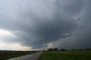
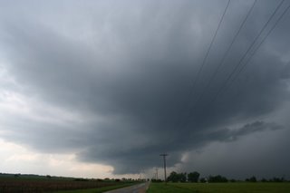
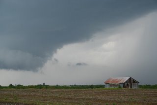
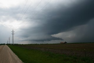
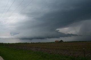
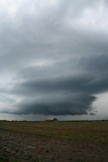
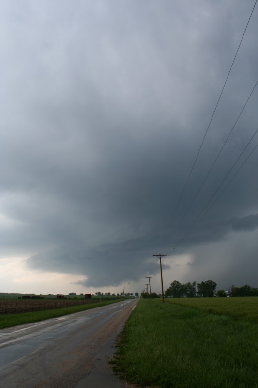
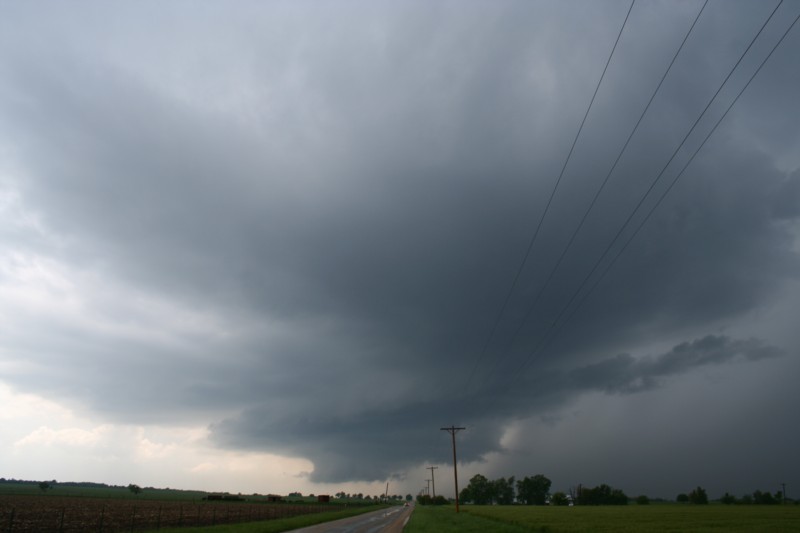
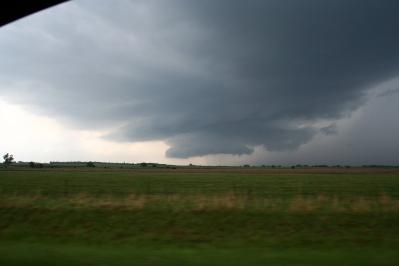
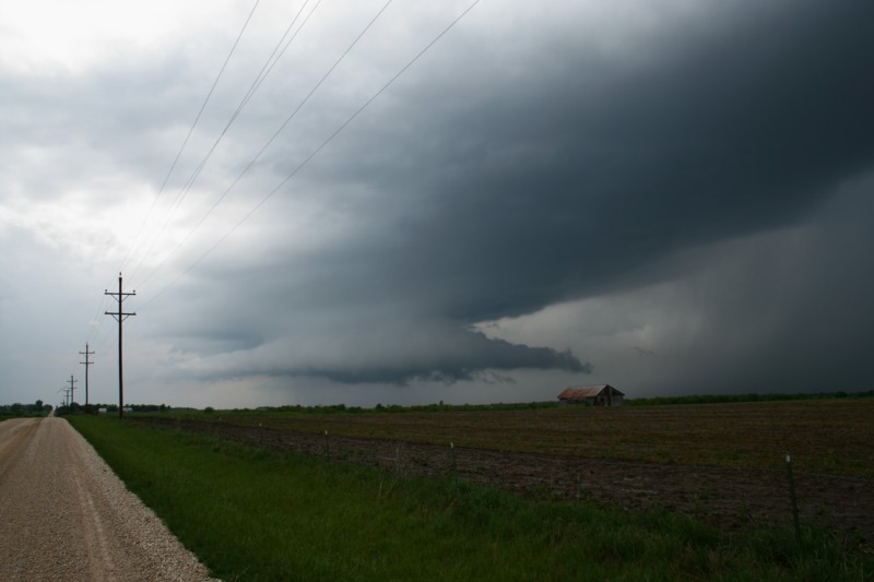
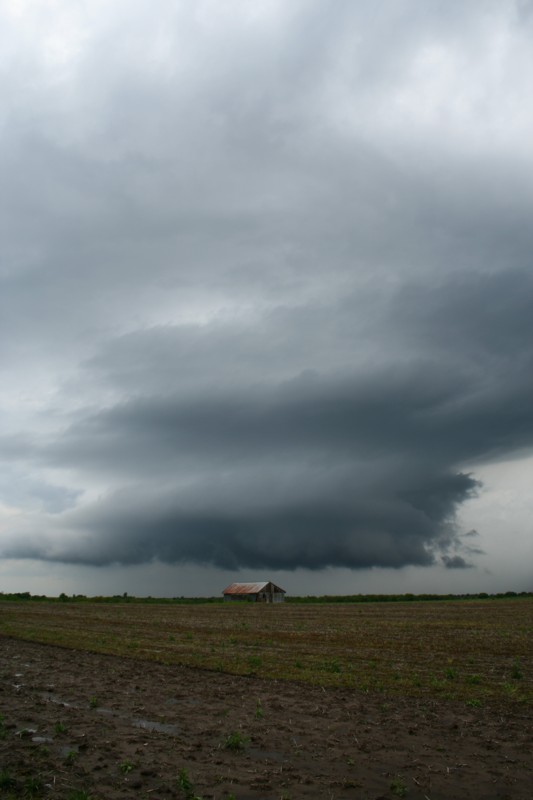
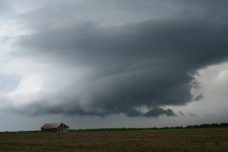
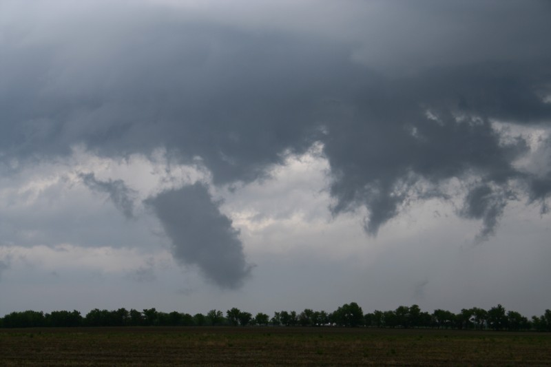
Well hello blogging community! I am back after a month off of chasing. I was on an outflow boundary in Eastern Kansas yesterday. The first cell of the day erupted just south of Iola, Kansas and moved straight East. As it entered Bourbon Co. it went tornado warned. I left Iola behind the storm driving East on Hwy 54. I fought the core of this storm from La Harpe to past Bronson. My thought process decided that I was never going to exit the core and that the show was going to stay south of 54 anyway. The road network in extreme Eastern Kansas is not great by any stretch so I decided that I would not have a real chance to get into any position on that cell. Turning around and heading back West on 54 and towers were bubbling in front of me. I made my way to Moran and went South on 59 for 2 miles. Looking West from 59 a decent updraft with wall cloud was visible. I positioned myself in three different locations over the next 30 minutes and took these shots. The storm never really cleared itself from the convection to its East or the new stuff firing to the West. The cell eventually split and died right as it entered the city of Moran. Overall a decent storm to photograph and much thanks to Eric B'Hymer for the nowcasting. Here are some pics below. Click to enlarge.


posted by Mike P at
5:22 PM
1 Comments
![]()
